
South Tampa is the peninsula that stretches south of downtown between Hillsborough Bay and Old Tampa Bay. It includes some of the city’s best-known neighborhoods, such as Hyde Park, Palma Ceia, Davis Islands and the streets along Bayshore Boulevard, as well as quieter areas further south toward MacDill Air Force Base. For many newcomers, it is the first area they look at. This guide explains what living there is like, who it suits and what to check before you commit.
Key takeaways
- South Tampa is close to downtown, walkable in places and known for older homes, tree-lined streets and the Bayshore waterfront.
- Much of the peninsula is low-lying and near the water, so evacuation zones and flood risk matter when choosing a home.
- It is one of the more expensive parts of the city for both renting and buying.
What South Tampa is like
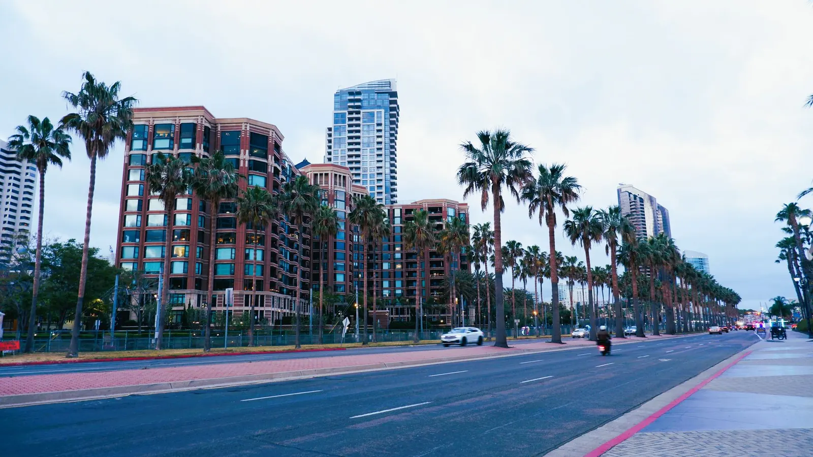
South Tampa feels established. Many streets are lined with large oaks, and the housing ranges from early 20th-century bungalows and brick homes to new construction built on lots where older houses once stood. Hyde Park, just southwest of downtown, has a small walkable shopping and dining area and some of the city’s oldest houses. Further south, Palma Ceia and the neighborhoods around it are mostly residential, with parks and neighborhood schools that draw families.
The Bayshore Boulevard sidewalk runs along the eastern edge of the peninsula for about 4.5 miles, from near downtown to Gandy Boulevard. It is one of the most popular places in the city to walk, run and bike, and living within reach of it is a big part of the area’s appeal.
Davis Islands and Harbour Island
Just off downtown, Davis Islands is a man-made island neighborhood with its own small village center, a general aviation airport, a hospital and waterfront parks. Harbour Island, next to the Channel District, is smaller and mostly made up of condos and townhomes. Both feel close to the city center while being set slightly apart from it.
Areas at a glance
| Hyde Park and Bayshore | Palma Ceia and central South Tampa | Davis Islands | |
|---|---|---|---|
| Housing | Historic homes, condos, townhomes | Single-family homes, mixed ages | Single-family homes, condos |
| Feel | Walkable pockets, busy | Residential, family-oriented | Island village, quiet |
| Commute to downtown | Very short | Short | Very short |
| Things to check | Parking, traffic on main roads | Flood history of the street | Evacuation zone and bridge access |
Tip: Drive the route from the house to work at rush hour before you sign anything. The main roads in and out of the peninsula, such as Dale Mabry Highway and the Gandy Bridge approaches, can be slow at peak times.
Storm and flood considerations
Because South Tampa sits between two bays, parts of it are in the county’s lower-numbered evacuation zones, which are the first to be ordered out when a hurricane threatens. Some streets are also in higher-risk flood zones on federal flood maps, and some flood in heavy summer rain regardless of the map. Look up any address on the county’s evacuation zone tool and the federal flood maps, ask about past flooding and get an insurance quote before you make an offer.
Who South Tampa suits
A good fit if
- You want to be close to downtown and the Bayshore waterfront.
- You like older homes and established streets.
- Your budget allows for higher housing and insurance costs.
Maybe not if
- You want a newer home with a large lot for the price.
- Being in a low-lying area near the water worries you.
- You commute to the northern or eastern suburbs every day.
Before you choose
- Look up the evacuation zone and flood zone for each address you consider.
- Ask neighbors or the seller about street flooding in summer storms.
- Get homeowners and flood insurance quotes early.
- Visit on a weekday evening and a weekend to judge traffic and noise.
Common mistakes
The most common mistake is falling for a street in the dry season without asking how it handles heavy summer rain. The second is budgeting only for the mortgage or rent and forgetting that insurance costs near the water can be significant.
Frequently asked questions
Is South Tampa walkable?
Parts of it, such as Hyde Park and the Bayshore waterfront, are walkable. Most daily errands in the wider area still involve a car.
Is South Tampa in a flood zone?
Some addresses are and some are not. Check each property on the federal flood maps and the county’s evacuation zone tool.
How far is South Tampa from downtown?
Hyde Park and Davis Islands are right next to downtown; the southern parts of the peninsula are a longer drive.
For a different kind of older neighborhood, read our Seminole Heights: Bungalows, the River and a Local Food Scene. For the flood question in detail, see Evacuation Zones vs. Flood Zones: What Tampa Newcomers Need to Know.